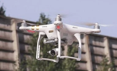
Govt releases interactive digital airspace map for drone operations
The government on Friday released an interactive digital airspace map for drone operations that demarcates areas into zones, including yellow and red, across the country for flying drones
Press Trust of India New Delhi The government on Friday released an interactive digital airspace map for drone operations that demarcates areas into zones, including yellow and red, across the country for flying drones.
The release of the map comes close on the heels of the civil aviation ministry coming out with revamped drone rules that is based on the premises of self-certification and non-intrusive monitoring of the activities.
For drone operations, the zones are divided into three -- green, yellow and red.
Green zone is the airspace up to 400 feet that has not been designated as a red or yellow zone; and up to 200 feet above the area located between 8-12 kilometres from the perimeter of an operational airport.
Yellow zone is the airspace above 400 feet in a designated green zone. Those above 200 feet in the area located between 8-12 kilometres from the perimeter of an operational airport and above ground in the area located between 5-8 kilometres from the perimeter of an operational airport would be considered as yellow zones.
The red zone is the area within which drones can be operated only after permission from the central government.
According to a release issued by the ministry on Friday, yellow zone has been reduced from 45 kilometres earlier to 12 kilometres from the airport perimeter.
Drone operations in the yellow zone require permission from the concerned air traffic control authority as the case may be.
"In green zones, no permission whatsoever is required for operating drones with an all-up weight up to 500 kilograms," the release said.
The ministry noted that the airspace map may be modified by authorised entities from time to time.
While announcing the release of the airspace map for drone operations, the ministry said it is another step in realising the collective vision of an Aatmanirbhar Bharat.
The map, available on aviation regulator DGCA's digital sky platform, comes as a follow-through of the liberalised drone rules, the PLI scheme for drones and the geospatial data guidelines.
"All these policy reforms will catalyse super-normal growth in the upcoming drone sector," the ministry said in a release.
Under the drone rules, notified on August 25, several permissions have been done away with, and the number of forms required has been reduced to 5 from 25 earlier. Besides, the types of fees have been drastically cut to 4 from 74 earlier.
(Only the headline and picture of this report may have been reworked by the Business Standard staff; the rest of the content is auto-generated from a syndicated feed.)
 "Govt releases interactive digital airspace map for drone operations")